NOAA's 2026 Atlantic Hurricane Outlook — What North Central Florida Small Businesses Should Do in the 14 Days Before June 1
NOAA releases its official 2026 Atlantic hurricane season outlook on May 21, 2026 from its Aircraft Operations Center in Lakeland, Florida. Early forecasts from Colorado State University and Tropical Storm Risk — the two seasonal forecasts NOAA itself watches closely — both call for a somewhat below-normal season, citing developing El Niño conditions that should increase wind shear across the tropical Atlantic and suppress storm formation. NOAA puts El Niño's probability of developing this summer at over 60%, with a roughly 1-in-3 chance of becoming strong by late fall.
That sounds reassuring. It is misleading. Hurricane Andrew in 1992 was a below-normal year — six named storms total. Andrew made landfall in South Florida as a Category 5 and is still the costliest hurricane in Florida history when adjusted for inflation. Below-normal forecasts tell you about volume. They do not tell you about landfall risk to your specific business. Here is what the 2026 outlook actually means for a North Central Florida small business, what it does not, and the 14-day countdown checklist every Ocala, Villages, Gainesville, and Daytona Beach operator should run before June 1.
What NOAA's 2026 Outlook Actually Says
NOAA's seasonal outlook is a probabilistic forecast issued by the Climate Prediction Center and NHC, with the May edition refined in early August. The 2026 outlook reflects three things forecasters expect to dampen activity compared to the record-breaking 2024 and active 2023 seasons:
- Developing El Niño. Warmer surface water in the central and eastern equatorial Pacific shifts atmospheric circulation patterns and drives upper-level westerly winds across the tropical Atlantic. Increased wind shear tears apart developing storms before they can organize.
- Slightly cooler tropical Atlantic. The Main Development Region between Africa and the Caribbean is running cooler than the brutally warm 2023–2024 anomaly, reducing the thermal fuel available for major storm intensification.
- Analog years. NOAA expects 2026 activity to resemble 2006, 2009, 2015, and 2023. Worth noting: 2023 had 20 named storms (above-normal volume) but only one major hurricane made landfall in the contiguous US — Idalia — which struck the Florida Big Bend / Levy County coast as Cat 3.
What a “Below-Normal” Forecast Does Not Tell You
Seasonal outlooks are skill-validated for total basin activity. They have no skill at all at predicting landfall location. Whether a given hurricane comes ashore at Tampa Bay, the Big Bend, Cedar Key, Daytona Beach, or the Panhandle — or stays offshore entirely — depends on synoptic-scale steering currents that cannot be predicted more than 5–10 days out.
What that means in business-decision terms: an outlook that says “below normal” gives you exactly zero information about whether a Cat 3 makes landfall 80 miles from your office in October. The historical record makes this obvious if you look at it:
- 1992 (below-normal): Andrew hits Homestead, FL as Cat 5. $27B in damage in 1992 dollars; $60B+ in 2026 dollars.
- 2018 (near-normal): Michael hits the Florida Panhandle as Cat 5. Total inland devastation across the western half of the state.
- 2022 (slightly above-normal): Ian crosses Florida from the SW Gulf coast all the way to the Atlantic. Marion, Sumter, Lake, and Alachua counties all under tropical-storm-force winds. Multi-day power and internet outages across the entire NCFL region.
- 2023 (above-normal volume): Idalia hits Levy / Dixie / Taylor counties as Cat 3 — inland Florida, not the typical coastal target.
- 2024 (record-breaking): Helene drags major-storm impact from Florida's Big Bend all the way to Asheville, NC and Tennessee. Inland is no longer a refuge.
The Inland NCFL Assumption That Keeps Backfiring
Businesses in Ocala, The Villages, Gainesville, and the broader North Central Florida corridor have a recurring assumption: hurricanes are a coastal problem. That assumption keeps getting falsified.
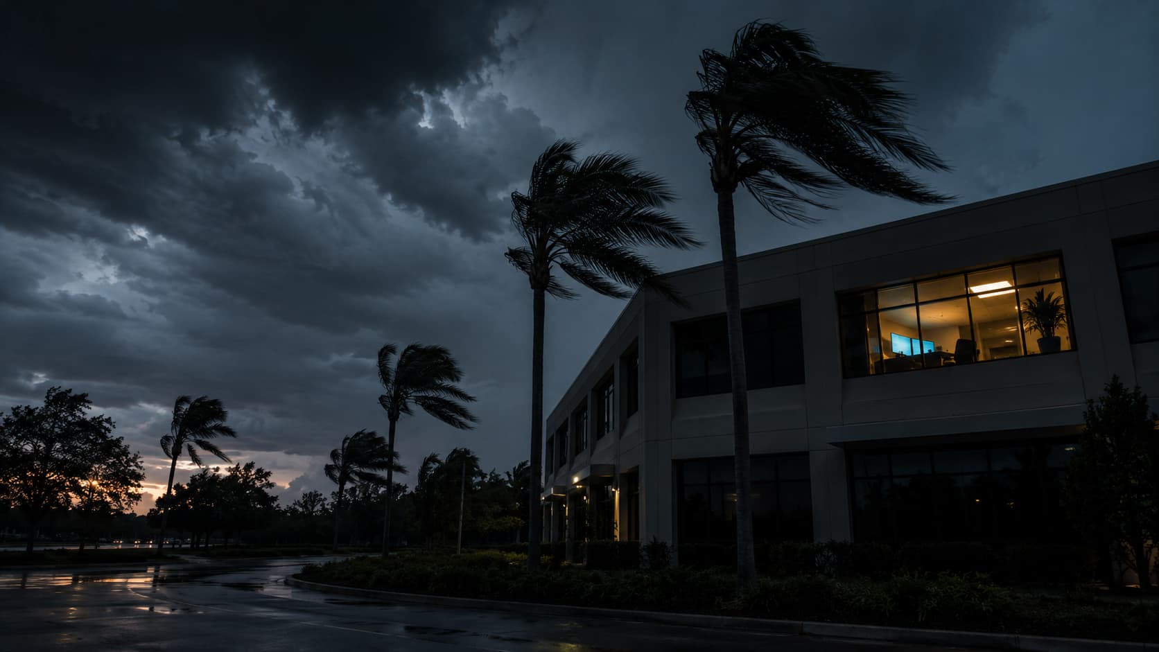
Ian in 2022 left Marion County without power for 3–5 days across most ZIP codes. Idalia in 2023 hit inland counties on the Gulf side of the Big Bend. Helene in 2024 dragged its impact across the Florida-Georgia line and through Alachua and Marion counties before strengthening into a coastal catastrophe further north. The next storm could enter through Tampa Bay, cross the state, and exit through Daytona Beach — putting every county in our service area under tropical-storm-force winds for 36+ hours.
What that means operationally is simple: plan as if your business will lose power and primary internet for 3–7 days at some point during the season. Plan as if your office may be unreachable for a week. Plan as if the wireline circuit you depend on for VoIP will be down for longer than the cellular network.
The 14-Day Countdown to June 1
If you do nothing else in the next two weeks, do these. They take a total of one full business day spread across two weeks — cheaper than any single hour of post-storm downtime.
How the Outlook Should (and Should Not) Change Your Plan
The honest answer for most small businesses: the outlook should change nothing about your pre-season IT prep. The 14 actions above are the same whether NOAA forecasts 6 named storms or 26. They are baseline operational hygiene for any business operating in Florida during hurricane season.
Where the outlook does matter is in two narrow cases:
- Cyber insurance renewal pricing. Underwriters watch NOAA closely. A below-normal forecast typically eases premium hikes on Florida-domiciled policies. If your renewal is in Q3 2026, the May outlook may help you push back on increases. See our cyber insurance 10-control checklist for the underwriter ask list.
- Decision timing on deferred capex. A confirmed below-normal forecast can be a reasonable input into the decision to defer non-critical office hardening (storm windows, exterior generator transfer-switch work) until after the season. It is not a reason to defer the IT continuity work above.
After the Outlook: What to Watch Through August
NOAA refines the seasonal outlook in early August. The August update is more reliable than the May version because by then forecasters know whether El Niño has actually developed (or stalled), and the Atlantic main development region's sea-surface temperature anomaly is locked in. The August outlook is the one to pay attention to for late-season tactical decisions — specifically Q3 cyber insurance renewals, generator service scheduling, and whether to defer or accelerate any planned IT downtime windows in September and October.
For the comprehensive pre-season playbook, see our 2026 Florida hurricane IT continuity plan and run our 90-minute hurricane IT tabletop exercise with your team. For Villages-specific guidance, see the Villages business tabletop. For the underlying continuity architecture, the Florida disaster recovery & business continuity guide covers the immutable-backup, dual-WAN, and cloud-first stack in depth.

Steve Condit founded Simply IT to bring enterprise-grade IT management to small and mid-sized businesses across North Central Florida. With over 30 years of IT experience and a background in the US Marine Corps, Steve built Simply IT around the principle that local businesses deserve the same quality of technology partnership that large companies take for granted — without long-term contracts or national call center support.
KEEP READING
RELATED SOLUTIONS & SERVICE AREAS
READY TO SOLVE YOUR IT CHALLENGES?
Get a free technology assessment and find out exactly where your business stands.